
File:Gorazde Drina River.JPG
Original file (3,211 × 2,405 pixeles, dimension del file: 2 MB, tip MIME: image/jpeg)
Descrition
| Descrition |
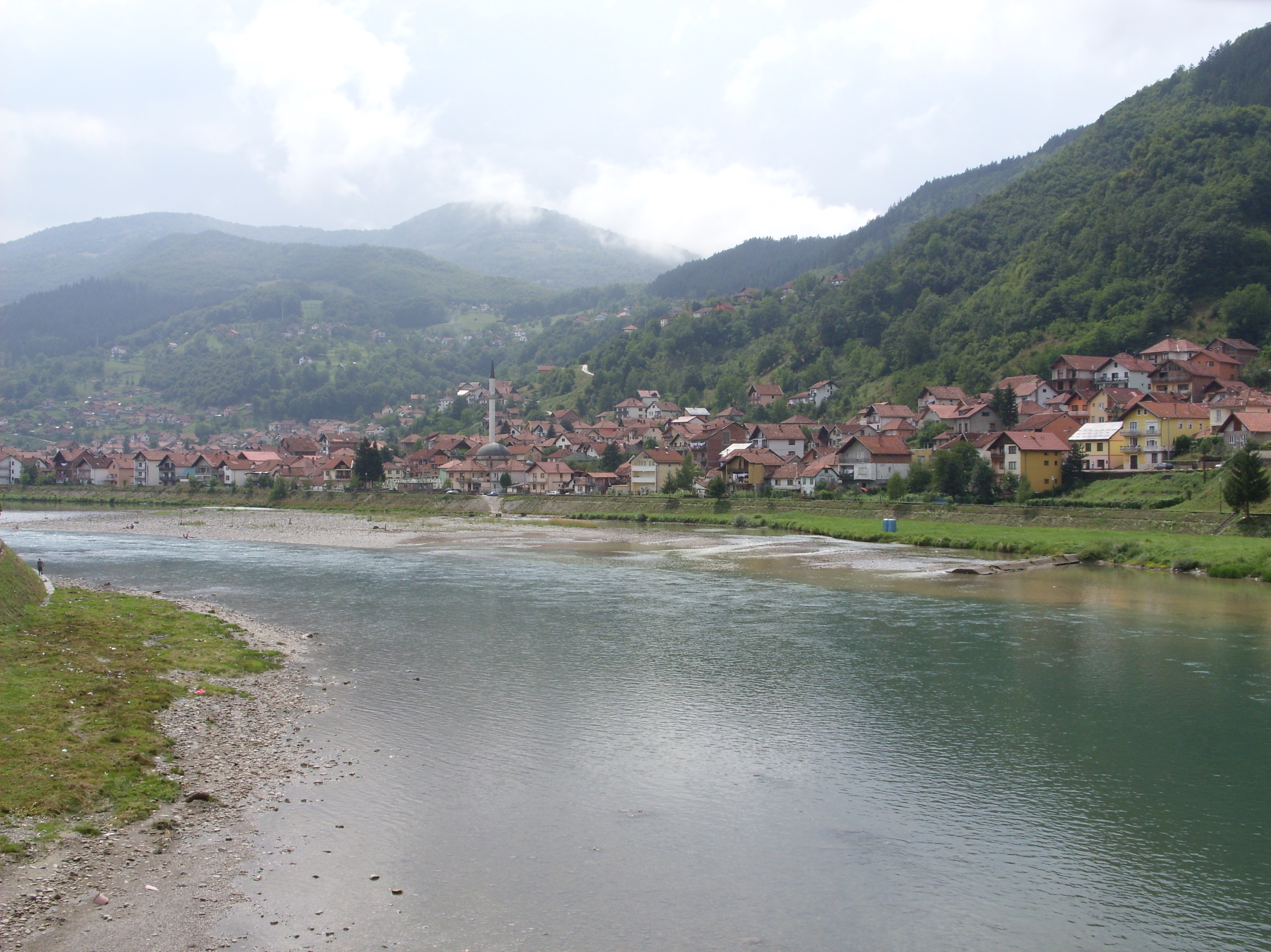
Hornjoserbsce: Rěka Drina w Goraždźe, wuchodna Bosniska. |
||
| Date | |||
| Fonte | Propri ovre | ||
| Autor | Julian Nyča | ||
| Permission: (Reusant ti-ci file) |
 Die kostenlose Weiternutzung dieses Bildes, insbesondere kommerzieller Natur, ist im Sinne der unten genannten Lizenz nur unter folgender Bedingung gestattet:
Durch die Bildnutzung erklären Sie sich mit den Lizenzbedingungen einverstanden. Im Falle eines Verstoßes gegen die Lizenzbedingungen erlöschen die Nutzungsrechte automatisch. Ich behalte mir vor, in diesem Fall ein nachträgliches Nutzungsentgelt in Rechnung zu stellen. Werden größere Versionen des Bildes oder eine Nutzung ohne Namensnennung gewünscht, bitte vorher hier anfragen!
 Bjezpłatne dalewužiwanje tutoho wobraza, wosebje komercielneho razu, je w zmysle podateje licency jenož pod slědowacym wuměnjenjom dowolene:
Z wužiwanjom wobraza akceptujeće licencowe wuměnjenja. W padźe zranjenja licencowych wuměnjenjow wužiwanske prawo awtomatisce zhubiće.
Weitere Bilder von Julian Nyča: alle – nur aus dem Album Bosnia and Herzegovina – nur von 2008 Kontakt für Anfragen: julian.nyca (at) luzica.la
|
| Camera location | | View this and other nearby images on: OpenStreetMap |
|---|
Autorisation

|
Permission es concedet por copiar, distribuer e/o modificar ti document sub li conditiones del Autorisation de Documentation Líber del GNU, Version 1.2 o qualcunc version posteriori publicat per li Free Software Foundation; che nequant Section Ínvariant, nequant Textu de Covriment, e nequant Textu de Contra-Covriment. Un copie del autorisation es includet in li section nominat Autorisation de Documentation Líber del GNU. |
- Vu es líber:
- distribuer – a copiar, distribuer e transmisser li labor
- remixter – adaptar li ovre
- Sub li conditiones quam seque:
- atribution – Vu deve dar li credite convenent, provider un catenun por li autorisation, e indicar si changes esset fat.
Vu posse far in qualcunc forme rasonabil, ma ne de forma que suggeste que li autorisator indossa vu o tui usu.
- distribuer in conditiones de egal autorisation – Si vu remixter, transformar, o constructer sur li materiale, vu deve distribuer tui contributiones sub li autorisation identic o campatabil quam li original.
Versiones del file
Clacca a un date/témpore por vider ti version.
| Version de | Miniatura | Dimensiones | Usator | Comentarie | |
|---|---|---|---|---|---|
| actual | 19:48, 19 julí 2009 | | 3,211 × 2,405 (2 MB) | J budissin | == Beschreibung == {{Information |Description= {{de|Die Drina in Goražde, Ostbosnien.}} {{en|Drina River in Goražde, East Bosnia.}} {{hsb|Rěka Drina w Goraždźe, Wuchodna Bosniska.}} |
Usu del file
Li sequent págine usa ti file:
Usu global del file
Li altri wikis a sequer usa ti-ci file:
- Usu in cs.wikipedia.org
- Usu in de.wikipedia.org
- Usu in fa.wikipedia.org
- Usu in www.wikidata.org