
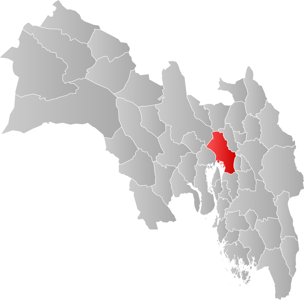
File:NO 0301 Oslo.svg

Size of this PNG preview of this SVG file: 608 × 599 pixeles. Altri resolutiones: 243 × 240 pixeles | 487 × 480 pixeles | 779 × 768 pixeles | 1,039 × 1,024 pixeles | 2,077 × 2,048 pixeles | 998 × 984 pixeles.
Original file ((file SVG, nominalmen 998 × 984 pixeles, mesura de file: 138 KB))
| Descrition | |||
| Date | |||
| Fonte | Propri ovre | ||
| Autor | Jon Harald Søby | ||
| Permission: (Reusant ti-ci file) |
|
||
| SVG genesis |
Versiones del file
Clacca a un date/témpore por vider ti version.
| Version de | Miniatura | Dimensiones | Usator | Comentarie | |
|---|---|---|---|---|---|
| actual | 03:28, 4 februar 2020 | | 998 × 984 (138 KB) | Jay1279 | update after county merger to show Oslo inside Viken County |
| 20:42, 21 januar 2007 |  | 744 × 1,052 (62 KB) | Jon Harald Søby | {{User:Jon Harald Søby/Kartlisens|Oslo|Akershus}} |
Usu del file
Hay nequant págine que usa ti file.
Usu global del file
Li altri wikis a sequer usa ti-ci file:
- Usu in af.wikipedia.org
- Usu in ar.wikipedia.org
- Usu in bpy.wikipedia.org
- Usu in bs.wikipedia.org
- Usu in ca.wikipedia.org
- Usu in ceb.wikipedia.org
- Usu in da.wikipedia.org
- Usu in de.wikipedia.org
- Usu in en.wikipedia.org
- Usu in es.wikipedia.org
- Usu in fa.wikipedia.org
- Usu in fo.wikipedia.org
- Usu in fr.wikipedia.org
- Usu in gd.wikipedia.org
- Usu in hu.wikipedia.org
- Usu in hy.wikipedia.org
- Usu in id.wikipedia.org
- Usu in incubator.wikimedia.org
- Usu in it.wikipedia.org
- Usu in ja.wikipedia.org
- Usu in lij.wikipedia.org
- Usu in nds.wikipedia.org
- Usu in ne.wikipedia.org
- Usu in nl.wikipedia.org
- Usu in nn.wikipedia.org
- Usu in nov.wikipedia.org
- Usu in no.wikipedia.org
- Usu in oc.wikipedia.org
- Usu in pcd.wikipedia.org
- Usu in pnb.wikipedia.org
- Usu in pt.wikipedia.org
- Usu in ro.wikipedia.org
- Usu in ru.wikipedia.org
- Usu in smn.wikipedia.org
- Usu in sq.wikipedia.org
- Usu in th.wikipedia.org
Vider plu del usu global de ti-ci file.