
File:Nouvelle-Calédonie collectivity location map centered.svg

Size of this PNG preview of this SVG file: 784 × 600 pixeles. Altri resolutiones: 314 × 240 pixeles | 628 × 480 pixeles | 1,004 × 768 pixeles | 1,280 × 979 pixeles | 2,560 × 1,958 pixeles | 1,017 × 778 pixeles.
Original file ((file SVG, nominalmen 1,017 × 778 pixeles, mesura de file: 144 KB))
Descrition
| Camera location | | View this and other nearby images on: OpenStreetMap |
|---|
| Descrition |
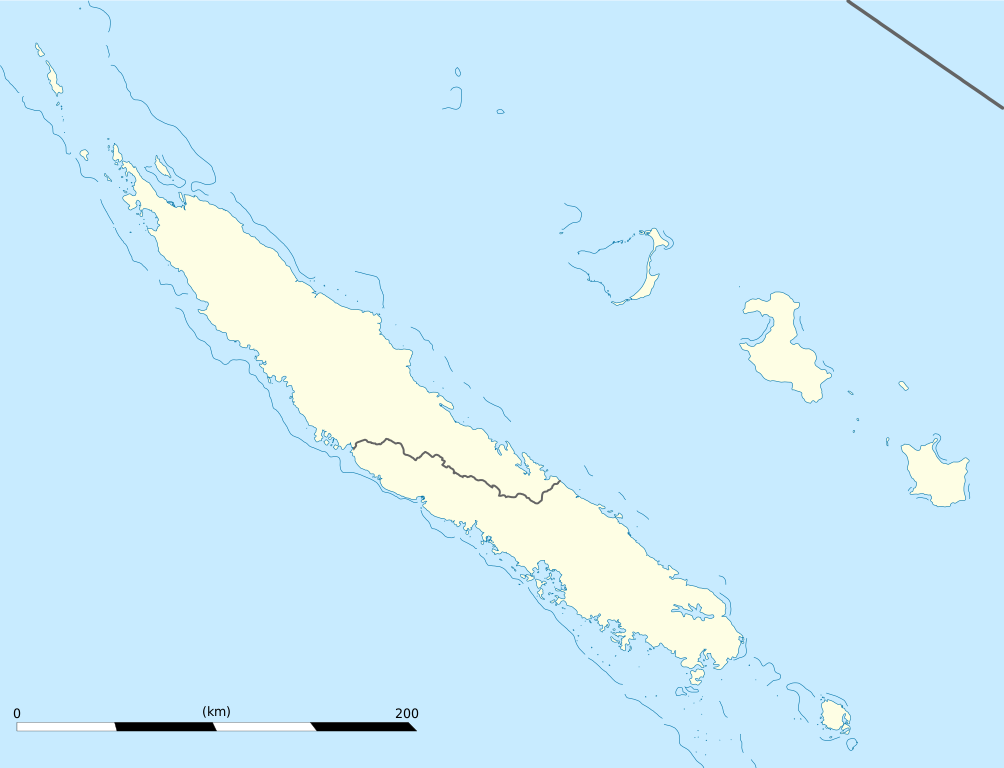
English: Blank administrative map of the territorial collectivity of New Caledonia, France, for geo-location purpose.
This is a map centered on the main islands. For a general map allowing to geo-locate the remote islands, see below. Français : Carte administrative vierge de la collectivité territoriale de Nouvelle-Calédonie, France, destinée à la géolocalisation. Ceci est une carte centrée sur les îles principales. Pour une carte générale permettant la géolocalisation des îles isolées, voir plus bas. Equirectangular projection, WGS84 datum
Geographic limits of the map:
|
||
| Date | |||
| Fonte |
Propri ovre
|
||
| Autor | Eric Gaba (Sting - fr:Sting) | ||
| Permission: (Reusant ti-ci file) |
|
||
| Other versions |
Derivative works of this file: Drapeau Province Nord Nouvelle Calédonie.svg
|

Autorisation
I, the copyright holder of this work, hereby publish it under the following licenses:
Ti file is autorisat sub li autorisation Creative Commons - Atribution-Distribution in Conditiones de Egal Autorisation 3.0 Non-Adaptat.
- Vu es líber:
- distribuer – a copiar, distribuer e transmisser li labor
- remixter – adaptar li ovre
- Sub li conditiones quam seque:
- atribution – Vu deve dar li credite convenent, provider un catenun por li autorisation, e indicar si changes esset fat.
Vu posse far in qualcunc forme rasonabil, ma ne de forma que suggeste que li autorisator indossa vu o tui usu.
- distribuer in conditiones de egal autorisation – Si vu remixter, transformar, o constructer sur li materiale, vu deve distribuer tui contributiones sub li autorisation identic o campatabil quam li original.

|
Permission es concedet por copiar, distribuer e/o modificar ti document sub li conditiones del Autorisation de Documentation Líber del GNU, Version 1.2 o qualcunc version posteriori publicat per li Free Software Foundation; che nequant Section Ínvariant, nequant Textu de Covriment, e nequant Textu de Contra-Covriment. Un copie del autorisation es includet in li section nominat Autorisation de Documentation Líber del GNU. |
Vu posse selecter li autorisation de tui selection.
Versiones del file
Clacca a un date/témpore por vider ti version.
| Version de | Miniatura | Dimensiones | Usator | Comentarie | |
|---|---|---|---|---|---|
| actual | 19:09, 21 januar 2009 | | 1,017 × 778 (144 KB) | Sting | == Summary == {{Location|21|06|00|S|165|51|00|E|scale:2000000}} <br/> {{Information |Description={{en|Blank administrative map of the territorial collectivity of New Caledonia, France, for |
Usu del file
Hay nequant págine que usa ti file.
Usu global del file
Li altri wikis a sequer usa ti-ci file:
- Usu in af.wikipedia.org
- Usu in als.wikipedia.org
- Usu in an.wikipedia.org
- Usu in ar.wikipedia.org
- Usu in ast.wikipedia.org
- Usu in az.wikipedia.org
- Usu in ba.wikipedia.org
- Usu in be-tarask.wikipedia.org
- Usu in be.wikipedia.org
- Usu in bg.wikipedia.org
- Usu in bn.wikipedia.org
- Usu in bs.wikipedia.org
- Usu in ceb.wikipedia.org
Vider plu del usu global de ti-ci file.