
File:Serbia (orthographic projection).svg

Size of this PNG preview of this SVG file: 600 × 600 pixeles. Altri resolutiones: 240 × 240 pixeles | 480 × 480 pixeles | 768 × 768 pixeles | 1,024 × 1,024 pixeles | 2,048 × 2,048 pixeles.
Original file ((file SVG, nominalmen 2,048 × 2,048 pixeles, mesura de file: 1.45 MB))
Descrition
| Descrition |
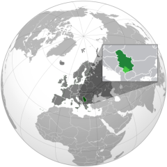
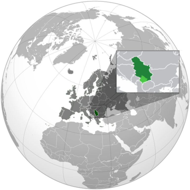
English: Serbia orthographic projection |
||
| Date | |||
| Fonte |
Propri ovre This vector image includes elements that have been taken or adapted from this file: This vector image includes elements that have been taken or adapted from this file: This vector image includes elements that have been taken or adapted from this file: |
||
| Autor | Милан Јелисавчић | ||
| Other versions |
.svg)
|
||
| SVG genesis |
.svg)
.svg)
.svg)
.svg)
.svg)
.svg)
.svg)
.svg)
.svg)
.svg)
.svg)
.svg)
.svg)
.svg)
.svg)
.svg)
.svg)
.svg)
.svg)
.svg)
.svg)
.svg)
.svg)
.svg)
.svg)
.svg)
.svg)
.svg)
.svg)
.svg)
.svg)
.svg)
.svg)
.svg)
.svg)
.svg)
.svg)
.svg)
.svg)
.svg)
.svg)
.svg)
.svg)
.svg)
.svg)
.svg)
.svg)
.svg)
.svg)
.svg)
.svg)
.svg)
.svg)
.svg)
.svg)
.svg)
.svg)
.svg)
.svg)
.svg)
.svg)
.svg)
.svg)
.svg)
.svg)
.svg)
.svg)
.svg)
.svg)
.svg)
.svg)
.svg)
.svg)

.svg)

.svg)

.svg)
.svg)
.svg)
.svg)
.svg)
.svg)
.svg)


.svg)
.svg)
.svg)
.svg)
.svg)
.svg)
.svg)

.svg)
.svg)
.svg)
.svg)
.svg)
.svg)
.svg)
.svg)
.svg)

.svg)
.svg)
.svg)
.svg)
.svg)
.svg)
.svg)
_without_national_boundaries.svg)
.svg)
.svg)
.svg)
.svg)
.svg)
.svg)

.svg)
.svg)
.png)
.svg)
.svg)
.svg)
.svg)

.svg)
.svg)
.svg)
.svg)
.svg)
.svg)
.svg)
.svg)
.svg)
.svg)
.svg)

.svg)
.svg)
.svg)
.svg)
.svg)
.svg)
.svg)
.svg)
.svg)

.svg)
.svg)

.svg)
.svg)
.svg)
.svg)
.svg)
.svg)
.svg)
.svg)
.svg)
.svg)
.svg)
.svg)
.svg)
.svg)
.svg)
.svg)
.svg)
.svg)
.svg)
.svg)
.svg)
.svg)
.svg)
.svg)
.svg)
.svg)
.svg)
_-_Crimea_disputed.svg)
.svg)
.svg)
.svg)
.svg)
.svg)
.svg)
.svg)
.svg)
.svg)
.svg)
.svg)
_political.svg)
.svg)
.svg)
.svg)
.svg)
_-_Crimea_disputed_-_no_borders.svg)
.svg)
.svg)
.svg)
.svg)
.svg)
.svg)
.svg)
.svg)
.svg)
.svg)
.svg)

.svg)
.svg)
.svg)

.png)
.svg)
.svg)
.svg)
.svg)
.svg)
.svg)
.svg)
.svg)
.svg)
.svg)
.svg)
.svg)
.svg)
.svg)
.svg)
.svg)
.svg)
.svg)
.svg)
.svg)
.svg)
.svg)
.svg)
.svg)
.svg)
.svg)
.svg)
.svg)
.svg)
.svg)
.svg)
.svg)
.svg)
.svg)
.png)
.svg)
.svg)
.svg)
_(orthographic_projection).png)

.svg)
.svg)
.svg)
Autorisation
I, the copyright holder of this work, hereby publish it under the following license:
Ti file is autorisat sub li autorisation Creative Commons - Atribution-Distribution in Conditiones de Egal Autorisation 3.0 Non-Adaptat.
- Vu es líber:
- distribuer – a copiar, distribuer e transmisser li labor
- remixter – adaptar li ovre
- Sub li conditiones quam seque:
- atribution – Vu deve dar li credite convenent, provider un catenun por li autorisation, e indicar si changes esset fat.
Vu posse far in qualcunc forme rasonabil, ma ne de forma que suggeste que li autorisator indossa vu o tui usu.
- distribuer in conditiones de egal autorisation – Si vu remixter, transformar, o constructer sur li materiale, vu deve distribuer tui contributiones sub li autorisation identic o campatabil quam li original.
Versiones del file
Clacca a un date/témpore por vider ti version.
.svg&dir=prev)
.svg&offset=20120121141735)
.svg&offset=&limit=20)
.svg&offset=&limit=50)
.svg&offset=&limit=100)
.svg&offset=&limit=250)
.svg&offset=&limit=500)
| Version de | Miniatura | Dimensiones | Usator | Comentarie | |
|---|---|---|---|---|---|
| actual | 18:34, 27 decembre 2022 | | 2,048 × 2,048 (1.45 MB) | Iktsokh | More correct visualization of the dividing line on the territory of the Caucasus Range |
| 06:47, 24 februar 2022 |  | 541 × 541 (205 KB) | Ahmet Q. | Reverted to version as of 18:50, 15 December 2021 (UTC) Rv POV-pushing | |
| 18:32, 26 decembre 2021 |  | 541 × 541 (338 KB) | Vacant0 | Reverted to version as of 18:33, 4 June 2021 (UTC) | |
| 18:50, 15 decembre 2021 |  | 541 × 541 (205 KB) | موسى | Reverted to version as of 23:32, 30 June 2020 (UTC) - саботаж; зеленый цвет в Африке | |
| 18:33, 4 junio 2021 |  | 541 × 541 (338 KB) | Vacant0 | Reverted to version as of 15:49, 29 December 2019 (UTC) | |
| 23:32, 30 junio 2020 |  | 541 × 541 (205 KB) | Yeetstuff | Fixed inaccuracies (EU as whole country, French Guiana colored in, Eritrea and South Sudan not shown, Yemen split) | |
| 15:49, 29 decembre 2019 |  | 541 × 541 (338 KB) | Goran tek-en | Added border for South Sudan as requested by Maphobbyist | |
| 00:37, 22 januar 2012 |  | 541 × 541 (654 KB) | Zenfiric | minor corrections | |
| 14:44, 21 januar 2012 |  | 541 × 541 (651 KB) | Zenfiric | minor correction | |
| 14:17, 21 januar 2012 |  | 541 × 541 (651 KB) | Zenfiric | Projection with inset |
Usu del file
Li sequent págine usa ti file:
Usu global del file
Li altri wikis a sequer usa ti-ci file:
- Usu in af.wikipedia.org
- Usu in arc.wikipedia.org
- Usu in ar.wikipedia.org
- العلاقات العراقية الصربية
- العلاقات الأمريكية الصربية
- العلاقات الأنغولية الصربية
- العلاقات الصربية الكورية الجنوبية
- العلاقات الإريترية الصربية
- العلاقات السويسرية الصربية
- العلاقات الألمانية الصربية
- العلاقات الصربية الليختنشتانية
- العلاقات البوليفية الصربية
- العلاقات الصربية الموزمبيقية
- العلاقات الألبانية الصربية
- العلاقات البلجيكية الصربية
- العلاقات الإثيوبية الصربية
- العلاقات البيلاروسية الصربية
- العلاقات الصربية الطاجيكستانية
- العلاقات الروسية الصربية
- العلاقات الرومانية الصربية
- العلاقات الأرجنتينية الصربية
- العلاقات الصربية الغامبية
- العلاقات الصربية القبرصية
- العلاقات السيراليونية الصربية
- العلاقات الصربية النيبالية
- العلاقات الصربية الليبيرية
- العلاقات التشيكية الصربية
- العلاقات الصربية الميانمارية
- العلاقات الصربية الكندية
- العلاقات السعودية الصربية
- العلاقات الزيمبابوية الصربية
- العلاقات الإسرائيلية الصربية
- العلاقات البالاوية الصربية
- العلاقات الصربية المالية
- العلاقات الصربية النيجيرية
- العلاقات اليمنية الصربية
- العلاقات الصربية الفانواتية
- العلاقات الغابونية الصربية
- العلاقات البنمية الصربية
- العلاقات الصربية الكوبية
- العلاقات الجورجية الصربية
- العلاقات التونسية الصربية
- العلاقات الصربية الكورية الشمالية
- العلاقات الهندية الصربية
- العلاقات اليابانية الصربية
- العلاقات الإيطالية الصربية
- العلاقات الصربية الناوروية
- العلاقات الأسترالية الصربية
- العلاقات الزامبية الصربية
- العلاقات الصربية الفيجية
- العلاقات المارشالية الصربية
Vider plu del usu global de ti-ci file.
.svg)
.svg)