
File:USA Maryland location map.svg

Size of this PNG preview of this SVG file: 800 × 509 pixeles. Altri resolutiones: 320 × 204 pixeles | 640 × 407 pixeles | 1,024 × 652 pixeles | 1,280 × 815 pixeles | 2,560 × 1,630 pixeles | 1,200 × 764 pixeles.
Original file ((file SVG, nominalmen 1,200 × 764 pixeles, mesura de file: 452 KB))
Descrition
| Descrition |
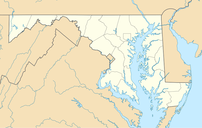
Quadratische Plattkarte, N-S-Streckung 130.0 %. Geographische Begrenzung der Karte:
Equirectangular projection, N/S stretching 130.0 %. Geographic limits of the map:
|
| Date | |
| Fonte | Propri ovre |
| Autor | Alexrk2 |
| Other versions |
Derivative works of this file: Wawa footprint 2012-07.png Derivative works of this file: |

|
This map has been made or improved in the German Kartenwerkstatt (Map Lab). You can propose maps to improve as well.
|
Autorisation
I, the copyright holder of this work, hereby publish it under the following licenses:

|
Permission es concedet por copiar, distribuer e/o modificar ti document sub li conditiones del Autorisation de Documentation Líber del GNU, Version 1.2 o qualcunc version posteriori publicat per li Free Software Foundation; che nequant Section Ínvariant, nequant Textu de Covriment, e nequant Textu de Contra-Covriment. Un copie del autorisation es includet in li section nominat Autorisation de Documentation Líber del GNU. |
This file is licensed under the Creative Commons Attribution 3.0 Unported license.
- Vu es líber:
- distribuer – a copiar, distribuer e transmisser li labor
- remixter – adaptar li ovre
- Sub li conditiones quam seque:
- atribution – Vu deve dar li credite convenent, provider un catenun por li autorisation, e indicar si changes esset fat.
Vu posse far in qualcunc forme rasonabil, ma ne de forma que suggeste que li autorisator indossa vu o tui usu.
Vu posse selecter li autorisation de tui selection.
Versiones del file
Clacca a un date/témpore por vider ti version.
| Version de | Miniatura | Dimensiones | Usator | Comentarie | |
|---|---|---|---|---|---|
| actual | 11:30, 22 junio 2009 | | 1,200 × 764 (452 KB) | Alexrk2 | fixed border |
| 11:23, 22 junio 2009 |  | 1,200 × 764 (449 KB) | Alexrk2 | crop height | |
| 11:03, 22 junio 2009 |  | 1,201 × 955 (445 KB) | Alexrk2 | renderer bug | |
| 10:42, 22 junio 2009 |  | 800 × 636 (311 KB) | Alexrk2 | == Beschreibung == {{Information |Description= {{de|Positionskarte von Maryland, USA}} Quadratische Plattkarte, N-S-Streckung 130.0 %. Geographische Begrenzung der Karte: * N: 40.3° N * S: 37.3° N * W: 79.7° W * O: 74.8° W |
Usu del file
Hay nequant págine que usa ti file.
Usu global del file
Li altri wikis a sequer usa ti-ci file:
- Usu in af.wikipedia.org
- Usu in als.wikipedia.org
- Usu in an.wikipedia.org
- Usu in ar.wikipedia.org
- Usu in azb.wikipedia.org
- الیوت، مریلند
- لایهیل، مریلند
- ویتون، مریلند
- نشنال، مریلند
- تیلقمنتون، مریلند
- اوشن، مریلند
- بقتاون، مریلند
- بیکرزویل، مریلند
- دیویدسونویل، مریلند
- قرانیت، مریلند
- باتلر، مریلند
- ارلویل، مریلند
- آوندیل، مریلند
- مکهنری، مریلند
- اسپاروز پوینت، مریلند
- بالدوین، مریلند
- فرلند، مریلند
- قلنکو، مریلند
- فیرهیل، مریلند
- ونسویل، مریلند
- فیقاویل، مریلند
- چرچتون، مریلند
- هنریتون، مریلند
- ساویج، مریلند
- وتیپکوئین، مریلند
- هانت ولی، مریلند
- وست فرندشیپ، مریلند
- دیتون، مریلند
- بازمن، مریلند
- مونپلیه مریلند
- لیسبون، مریلند
- قریسهام، مریلند
- برتدزویل، مریلند
- اجمانت، مریلیند
- بارتونزویل، مریلند
- میلرزویل، مریلند
- جسترویل، مریلند
- لانقبیج، مریلند
- ترقو- راهرسویل استیشن، مریلند
Vider plu del usu global de ti-ci file.