
File:United Kingdom Northern Ireland adm location map.svg

Original file ((file SVG, nominalmen 1,208 × 1,026 pixeles, mesura de file: 163 KB))
Descrition
| Descrition |
Deutsch: Positionskarte von Nordirland, Vereinigtes Königreich
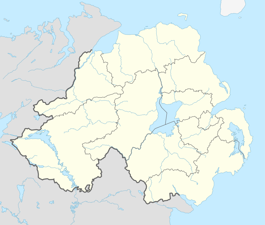
English: Location map of Northern Ireland, United Kingdom
|
||||||||||||
| Date | |||||||||||||
| Fonte |
Own work using:
|
||||||||||||
| Autor | NordNordWest | ||||||||||||

|
This map has been made or improved in the German Kartenwerkstatt (Map Lab). You can propose maps to improve as well.
|
Autorisation
Usage of this file with:

explanatory notes: Legally binding is only the full legalcode. For a free usage I recommend to respect the following licence conditions:
1. Provide my name as given above: NordNordWest,
2. a copy of, or the URI for, the applicable license: https://creativecommons.org/licenses/by-sa/3.0/de/legalcode,
3. the title of the work,
4. in the case of an adaptation, a credit identifying the use of the work in the adaptation.
This license and the rights granted hereunder will terminate automatically upon any breach by you of the terms of this license. Any of the above conditions can be waived if you get permission from the copyright holder. If you have questions or wish differing conditions, please contact me through nnwest or my discussion page ![]() t-online.de
t-online.de
- Vu es líber:
- distribuer – a copiar, distribuer e transmisser li labor
- remixter – adaptar li ovre
- Sub li conditiones quam seque:
- atribution – Vu deve dar li credite convenent, provider un catenun por li autorisation, e indicar si changes esset fat.
Vu posse far in qualcunc forme rasonabil, ma ne de forma que suggeste que li autorisator indossa vu o tui usu.
- distribuer in conditiones de egal autorisation – Si vu remixter, transformar, o constructer sur li materiale, vu deve distribuer tui contributiones sub li autorisation identic o campatabil quam li original.

Versiones del file
Clacca a un date/témpore por vider ti version.
| Version de | Miniatura | Dimensiones | Usator | Comentarie | |
|---|---|---|---|---|---|
| actual | 09:06, 7 octobre 2015 | | 1,208 × 1,026 (163 KB) | NordNordWest | c |
| 12:24, 6 octobre 2015 |  | 1,208 × 1,026 (162 KB) | NordNordWest | final version | |
| 10:37, 6 octobre 2015 |  | 1,208 × 1,026 (113 KB) | NordNordWest | == {{int:filedesc}} == {{Information |Description= {{de|1=Positionskarte von Nordirland, Vereinigtes Königreich}} {{en|1=Location map of Northern Ireland, United Kingdom}} {{Location map series N |stretching=170 |top=55.4 |bottom=53.9 |left=-8.3 |righ... |
Usu del file
Hay nequant págine que usa ti file.
Usu global del file
Li altri wikis a sequer usa ti-ci file:
- Usu in af.wikipedia.org
- Usu in bh.wikipedia.org
- Usu in bn.wikipedia.org
- Usu in br.wikipedia.org
- Usu in ca.wikipedia.org
- Usu in de.wikipedia.org
Vider plu del usu global de ti-ci file.