
File:VCT orthographic.svg

Size of this PNG preview of this SVG file: 600 × 600 pixeles. Altri resolutiones: 240 × 240 pixeles | 480 × 480 pixeles | 768 × 768 pixeles | 1,024 × 1,024 pixeles | 2,048 × 2,048 pixeles.
Original file ((file SVG, nominalmen 600 × 600 pixeles, mesura de file: 1.25 MB))
Descrition
| Descrition |
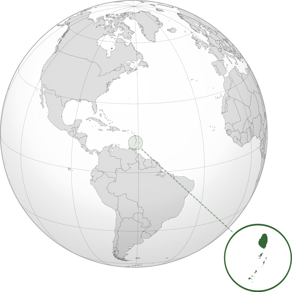
English: Orthographic map of Saint Vincent and the Grenadines centered at 17° N, 62° W.
Official territory.
Claimed territories. |
| Date | |
| Fonte | Propri ovre with Natural Earth Data |
| Autor | Addicted04 |
| SVG genesis |
Autorisation
I, the copyright holder of this work, hereby publish it under the following license:
Ti file is autorisat sub li autorisation Creative Commons - Atribution-Distribution in Conditiones de Egal Autorisation 3.0 Non-Adaptat.
- Vu es líber:
- distribuer – a copiar, distribuer e transmisser li labor
- remixter – adaptar li ovre
- Sub li conditiones quam seque:
- atribution – Vu deve dar li credite convenent, provider un catenun por li autorisation, e indicar si changes esset fat.
Vu posse far in qualcunc forme rasonabil, ma ne de forma que suggeste que li autorisator indossa vu o tui usu.
- distribuer in conditiones de egal autorisation – Si vu remixter, transformar, o constructer sur li materiale, vu deve distribuer tui contributiones sub li autorisation identic o campatabil quam li original.
Versiones del file
Clacca a un date/témpore por vider ti version.
| Version de | Miniatura | Dimensiones | Usator | Comentarie | |
|---|---|---|---|---|---|
| actual | 22:35, 8 julí 2012 | | 600 × 600 (1.25 MB) | Addicted04 |
Usu del file
Li sequent págine usa ti file:
Usu global del file
Li altri wikis a sequer usa ti-ci file:
- Usu in af.wikipedia.org
- Usu in ar.wikipedia.org
- Usu in arz.wikipedia.org
- Usu in ast.wikipedia.org
- Usu in az.wikipedia.org
- Usu in bg.wikipedia.org
- Usu in bi.wikipedia.org
- Usu in ca.wikipedia.org
- Usu in cdo.wikipedia.org
- Usu in ceb.wikipedia.org
- Usu in ce.wikipedia.org
- Usu in cs.wikipedia.org
- Usu in da.wikipedia.org
- Usu in diq.wikipedia.org
- Usu in el.wikipedia.org
- Usu in en.wikipedia.org
- Usu in es.wikipedia.org
- Usu in eu.wikipedia.org
- Usu in fa.wikipedia.org
- Usu in fi.wikivoyage.org
- Usu in fr.wikipedia.org
- Usu in fr.wiktionary.org
- Usu in ga.wikipedia.org
- Usu in gl.wikipedia.org
- Usu in gn.wikipedia.org
- Usu in hak.wikipedia.org
- Usu in he.wikipedia.org
- Usu in hy.wikipedia.org
- Usu in ia.wikipedia.org
- Usu in id.wikipedia.org
- Usu in incubator.wikimedia.org
- Usu in is.wikipedia.org
- Usu in it.wikipedia.org
- Usu in jam.wikipedia.org
- Usu in ja.wikipedia.org
- Usu in kab.wikipedia.org
Vider plu del usu global de ti-ci file.